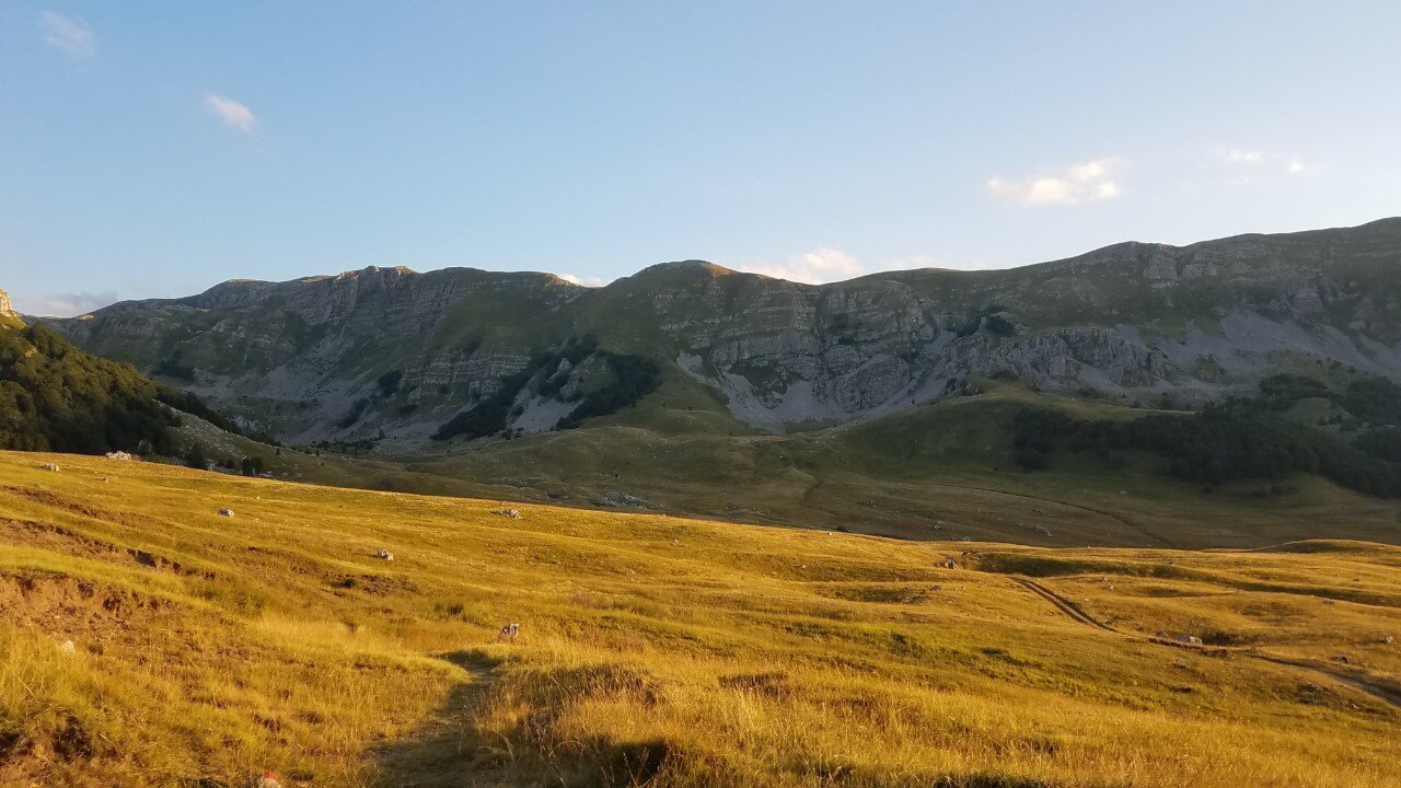
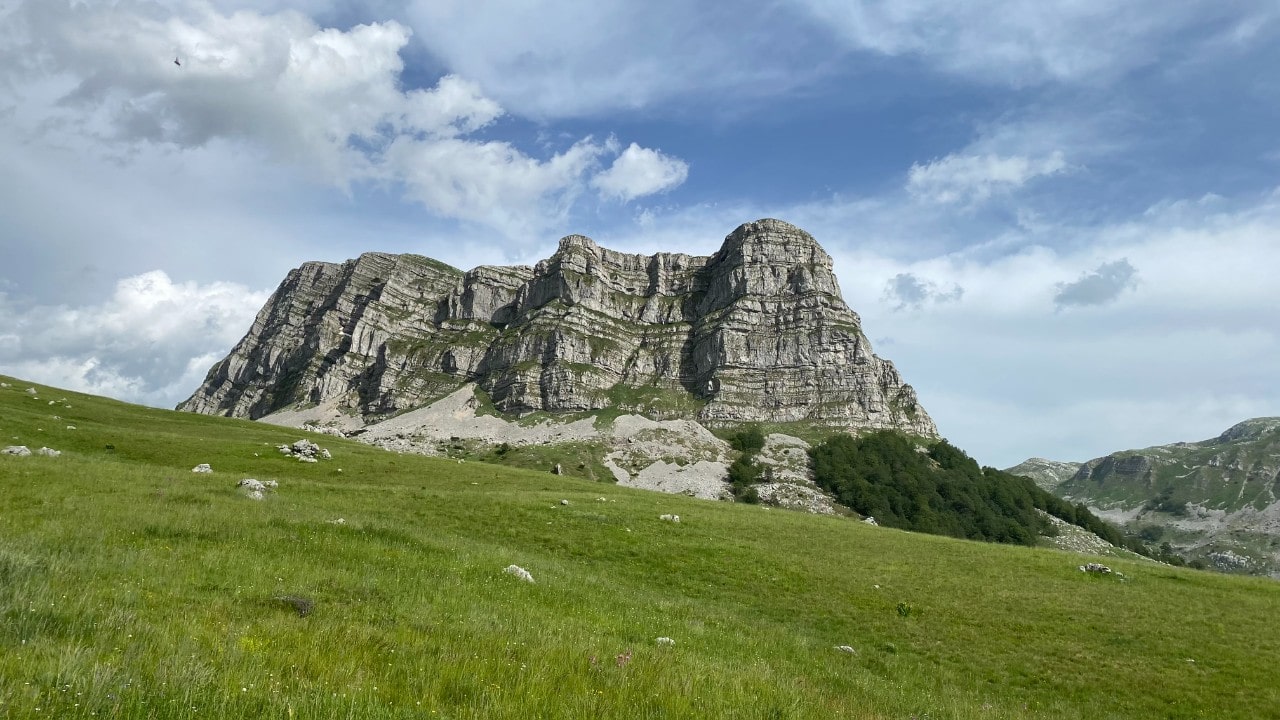
Volujak is the second highest mountain in Bosnia and Herzegovina, reaching a peak of 2,336 metres called Velika Vlasulja. This wild and beautiful mountain stands as the southern neighbour of Maglić, forming part of the High Mountains which are both dividing and uniting the two countries Bosnia and Montenegro. Its ridge, soaring over 2,000 metres above sea level, rises steeply from the Sutjeska river canyon and from the Suha valley, stretching westward opposite Mount Maglić towards the chain of Montenegro’s mountains and peaks.
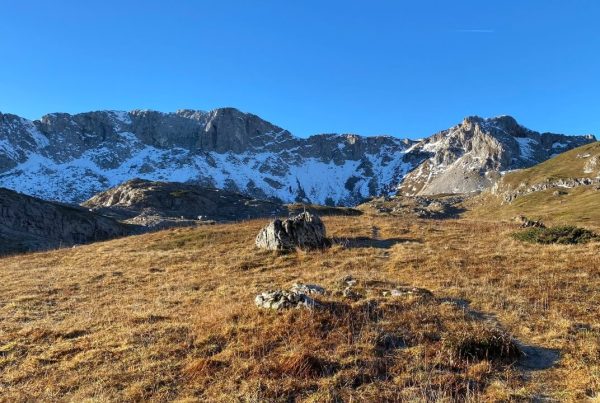
Velika Vlasulja, highest peak of Volujak, captured from Trnovački Durmitor
This mountain boasts untouched wilderness, steep rocks, and vast alpine meadows where herdsmen build new huts, while there are also many old or destroyed huts. The slopes of the mountain descend steeply into Sutjeska, where wild animals thrive. In addition, the mountain is abundant with medicinal plants, berry fruits, and mushrooms. Spending the night in katuns with hospitable domestic highlanders is an unforgettable experience, making this mountain a true paradise for nature lovers.
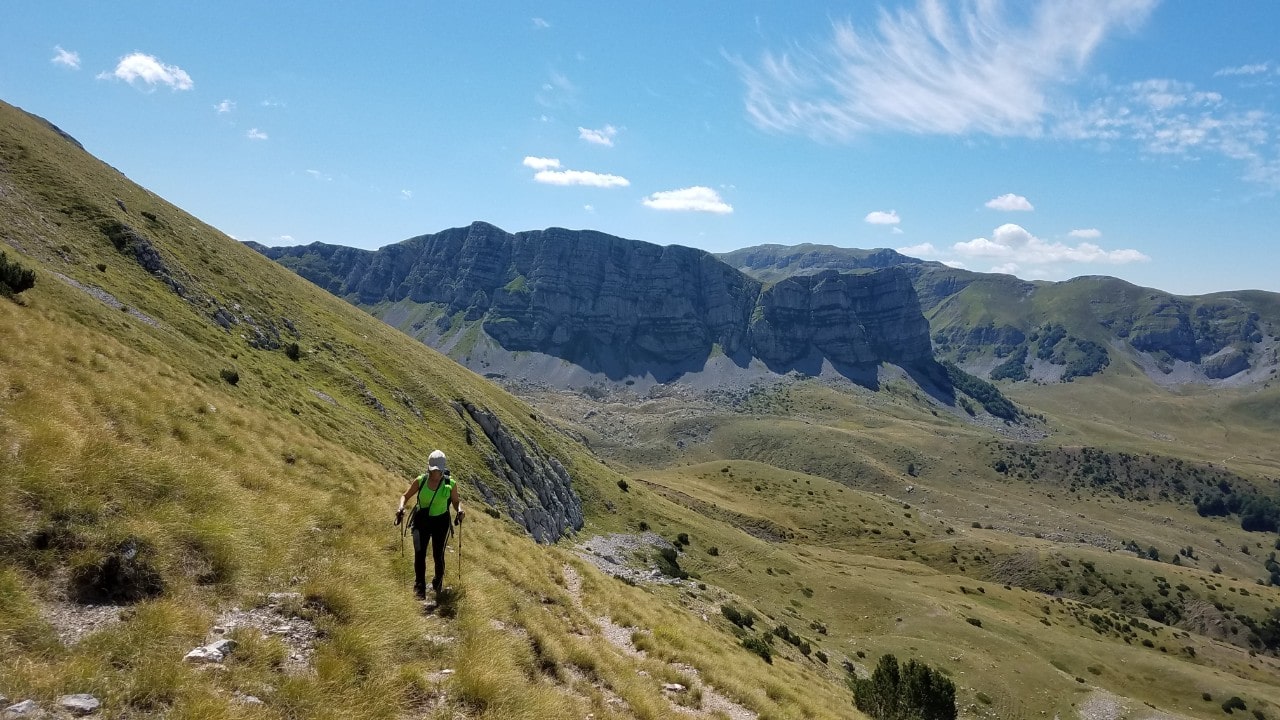
The rugged terrain of the mountains provides an exciting challenge for alpinists and mountaineers alike. In the summer, mountain bikers can explore the stunning alpine meadows, while in the winter, skiers and peak baggers can take on the snowy slopes and summits. Spectacular viewpoints can be found throughout the year, offering breathtaking panoramas of the area. For many years, summiting the peaks of Volujak has been a daunting task for daring mountaineers during winter due it’s isolation.
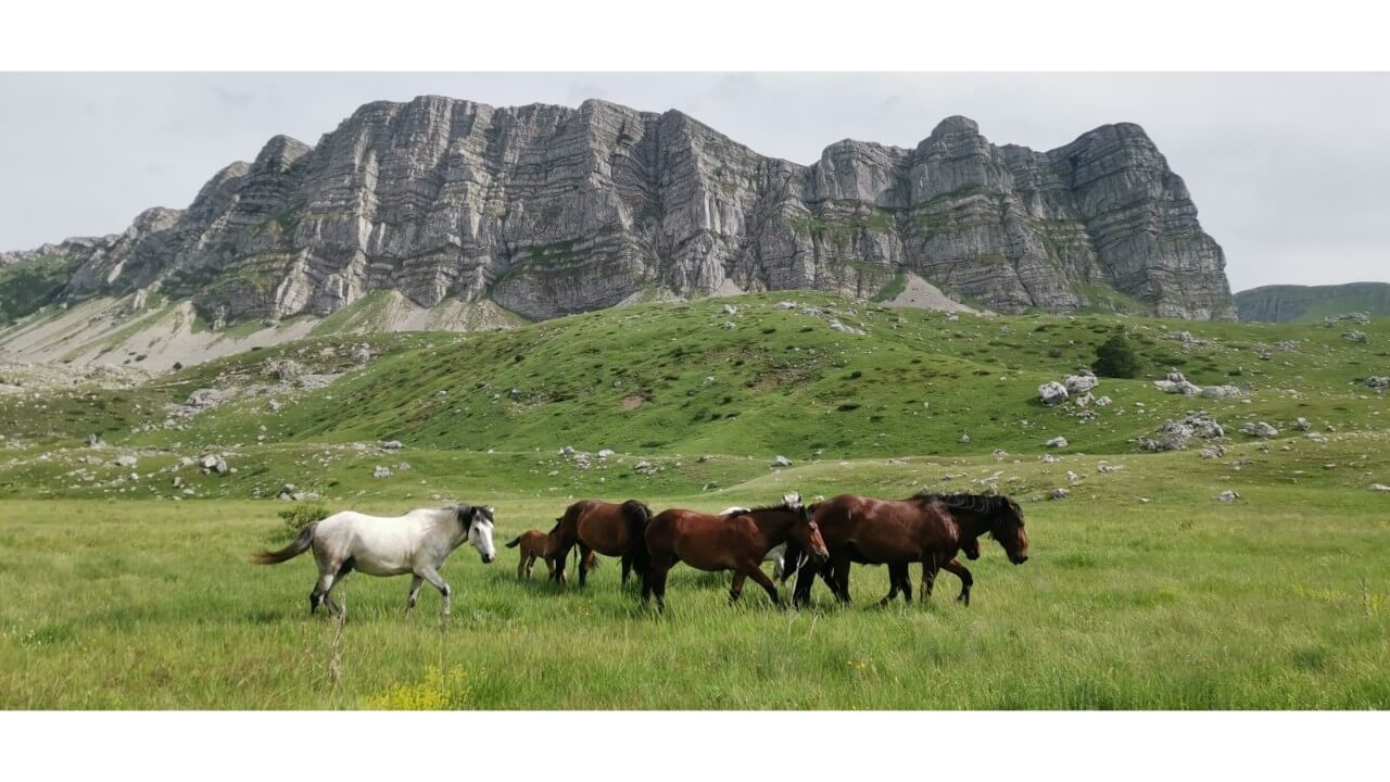
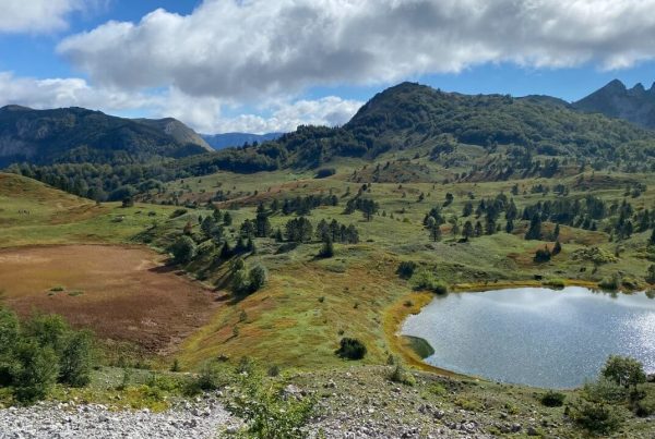
Vracan poljana and Kuk peak, with domestic horses in the field, captured in the late spring
A well-planned, one-day trip, led by professors of geography, biology, and sports, can provide students and high schoolers with an experience and knowledge that is worth more than hundreds of theory lectures or lessons in their formal education. Volujak is a mountain that will leave a lasting impression on any visitor due to its intense and unique experiences.
Climbing Volujak
There are numerous paths to ascend Volujak and its peaks, with a variety of options for routes and tours. The mountain has a Northern and Southern ridge, boasting sixteen peaks higher than 2,000 metres. Beside peaks on the North and South Ridges, there are also several distinct peaks, including the Lica North Peak and Lica South Peak.
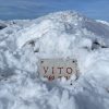
Ascent to Velika Vlasulja, highest peak of Volujak Mountain
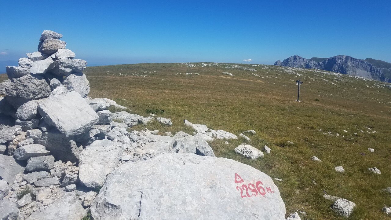
The Velika Vlasulja, highest peak on Volujak Mountain, is located in the southeast, standing at an impressive 2,336 meters. It can be accessed from a variety of directions, including Papin do, Trnovačko lake or crossing from other peaks, such as Studenac, which is 2.296 meters high.
Ascent to Velika Vlasulja from Papin do
The climb to the summit of Volujak’s highest peak, Velika Vlasulja, which stands at 2,336 meters, is a lengthy and strenuous journey from Papin Do. Despite the effort, however, the reward is well worth it. From the top, the view of the Bioč and Maglić mountain ranges is unparalleled. Though the trek from Trnovačko lake is shorter and more exciting, Papin Do is a captivatingly beautiful spot. The sight of Jagoda Lake towards Kuk is simply breathtaking, thus making the climb to the summit of Velika Vlasulja from Papin Do a worthwhile endeavor.
Kuk peak and the Vracan poljana just before sunset in late summer
The Lebršnik ridge, adorned with its unique terraced stone decorations on its northern cliffs, serves as a stunning decoration to the far east of Herzegovina. Its highest point, Orlojevac, can be found on the border of Montenegro. Curving in a horseshoe shape, the ridge eventually comes to an end at the mesmerizing Kuk peak, beneath which lies the enchanting Jagodino lake. To get to Papin dol, after passing through the Čemerno tunnel, take a right onto the old road that leads to Čemerno pass. Make a second right at the ruined hotel and continue on the well-maintained macadam road until you reach Papin do.
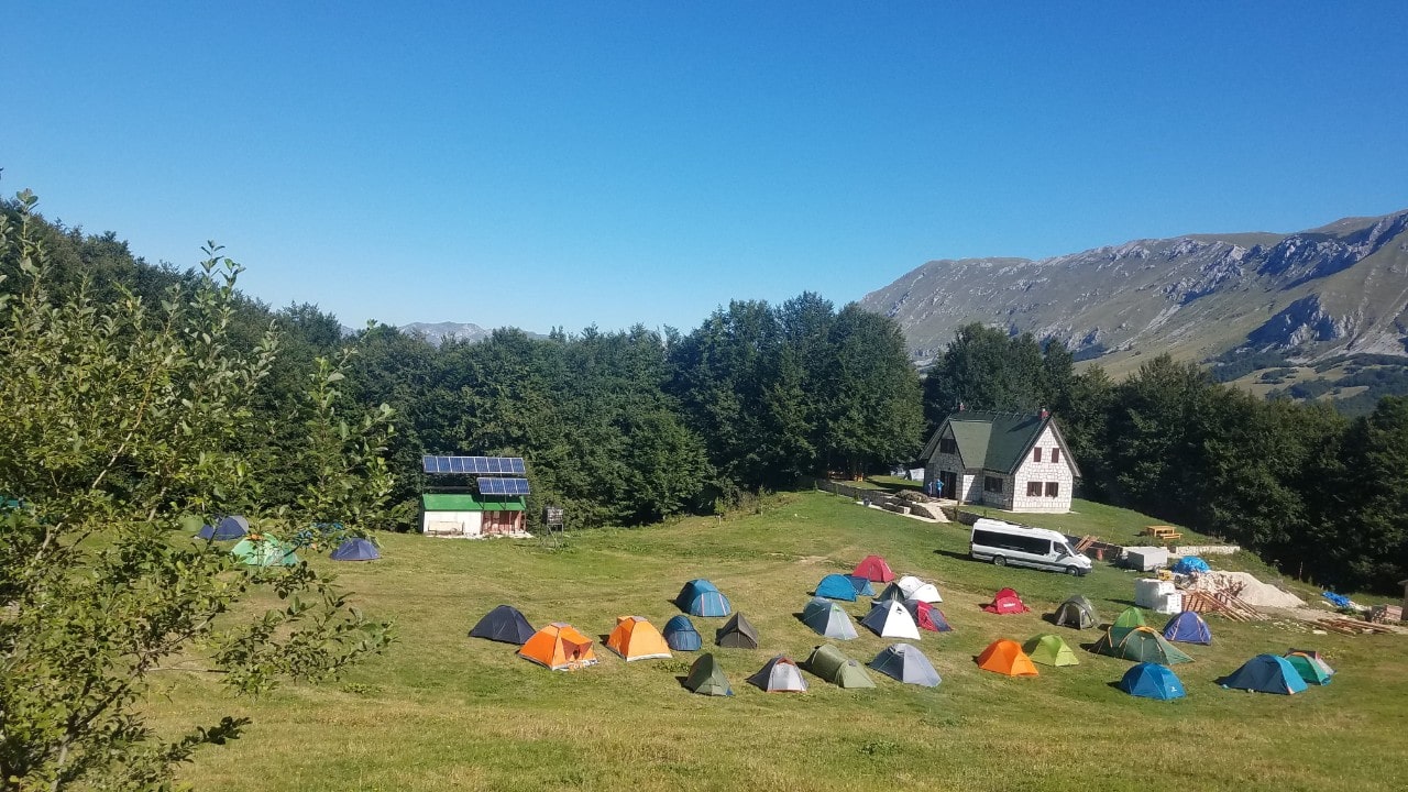
Mountin lodge Volujak, below Lebršnik ridge, camping by the house is always an option
The best way to access this area is to stay at the “Volujak” mountain lodge in Papin do. If the lodge is full, you may opt to camp next to the home.
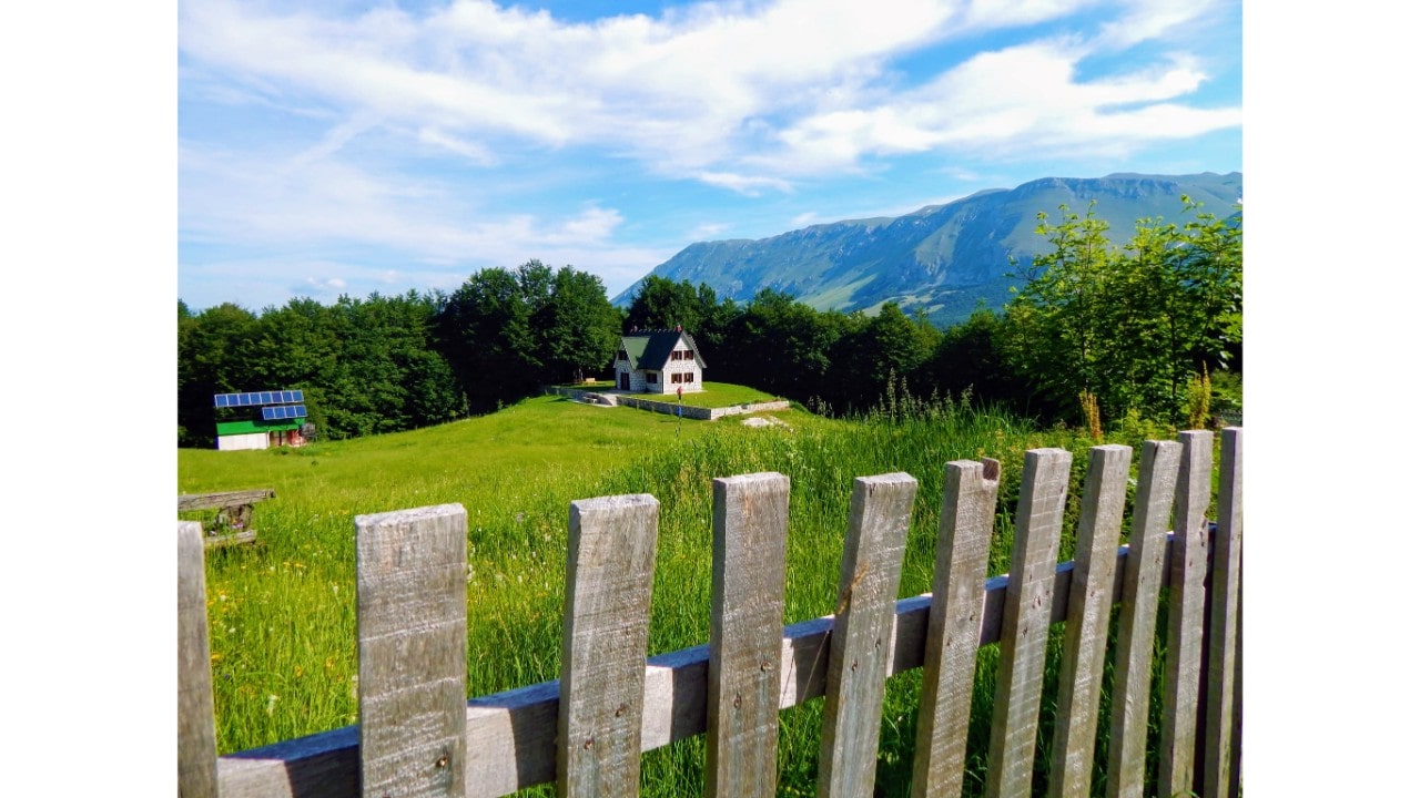
“Volujak” mountain lodge in Papin do
Visitors to Papin do can have a great time climbing one of the peaks of Volujak, or for more ambitious adventurers, the nearby mountains of Bioč, Trnovački Durmitor and Trzivka provide even bigger challenges. Just a 15-minute walk from the mountain lodge is the beautiful Jagodino Lake, while a two-hour walk away is the spectacular Stabanj Lakes in Montenegro. The winding path to Velika Vlasulja is clearly marked and starts off as a macadam road. Along the route, one can spot signposts pointing to the source of the Sutjeska River and Jagodino Lake. As you traverse the path, the picturesque ridges of Lebršnik, Kuk and Vlasulja create an awe-inspiring panorama with the sky dotted with clouds of all shapes and sizes. Every visitor is sure to be left breathless by the stunning landscape.
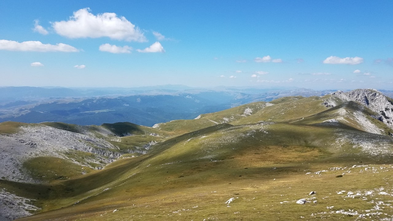
Vracan poljana and the Lebršnik
The path soon diverges from the macadam road and leads deep into the Vraćan field, winding through a forest. At the foot of the cliff is the izvor Goveđak, marking the start of the challenging ascent up the western side of Vlasulja. If your goal is Velika Vlasulja, remember to fill up your water supply before you set off as this is the last spring on the trail. If you are going up to the peak of Studenac, you will find another spring at the bottom of the peak itself. As you ascend, you will come to a diverging path which heads east, leading to two peaks: Studenac, 2,296 meters high, and Velika Vlasulja, 2,336 meters high. You can enjoy a stunning view of Kuk and Lebršnik as you make your way up the southern side of the trail. Although the ascent is somewhat repetitive, the panoramic view of Kuk and Lebršnik from the valley becomes even more spectacular with each step.
Kuk peak after starting ascent toward Velika Vlasulja right in the distance is Lebršnik
As you ascend the winding goat trail up the southern side of Volujak, you are revealing an awe-inspiring view of the Piva and Komarnica rivers. This path dates back to the Austro-Hungarian era, making it an ideal training ground for mountain running fanatics. After approximately three hours of trekking, you will reach the summit and be greeted with a panorama of majestic mountains.
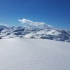
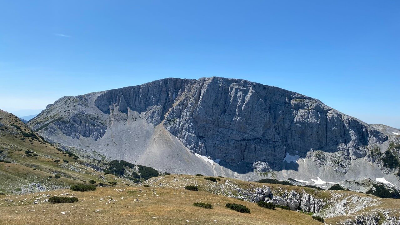
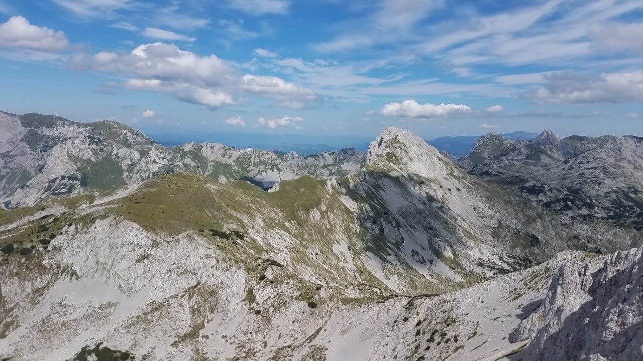
Velika Vlasulja peak, and Maglic in the distance
Bioč, Montenegro’s least visited high expanse, greets you in the distance, followed by the deep canyon of Piva, Durmitor, Bobotov Kuk, Sedlena greda, and the ridges of Trzivka and Maglić. From here, you can treat yourself to an unforgettable experience of wild, untouched nature, far from the hustle and bustle of civilization.
View from Velika Vlasulja with Trzivka dominating area
Return to Papin dol in an hour and a half, or even less by the same route. Alternatively, you can go down to Bojanska vrata and continue towards Trnovačko lake or peak of Trnovački Durmitor, or turn to Studenac and choose from a variety of directions. Bear in mind that these alternative routes are more challenging, requiring more energy and a means of transportation since the end point is different from the starting point.
[abp01_trip_summary_viewer]Climbing Studenac or Veliki Oštrikovac, second highest peak of Volujak
Climbing the Studenac, one of the peaks on the North ridge of Volujak, offers mountaineers three distinct main routes to the summit. The first is the path originating from Trnovačko lake, the second is the route beginning at Čemerno pass or Papin do, and the third is a route that passes through the village of Izgori. All three routes provide a unique and challenging mountaineering experience.
The path to Studenac or Veliki Oštrikovac from Trnovačko lake
To reach Trnovačko Lake(you can find this article here), hikers can begin their journey from Prijevor, a journey that will take approximately one hour. Alternatively, those who have chosen to start from Suha will need to plan for a 3-hour trek. The road from Trnovačko Lake to the peak of Volujak is a high mountain track, passing along paths used by herds of livestock, with no particularly arduous sections that could be considered an obstacle. In winter, however, the journey up the steep, avalanche-prone slopes of the mountain requires the expertise of a seasoned mountaineer.
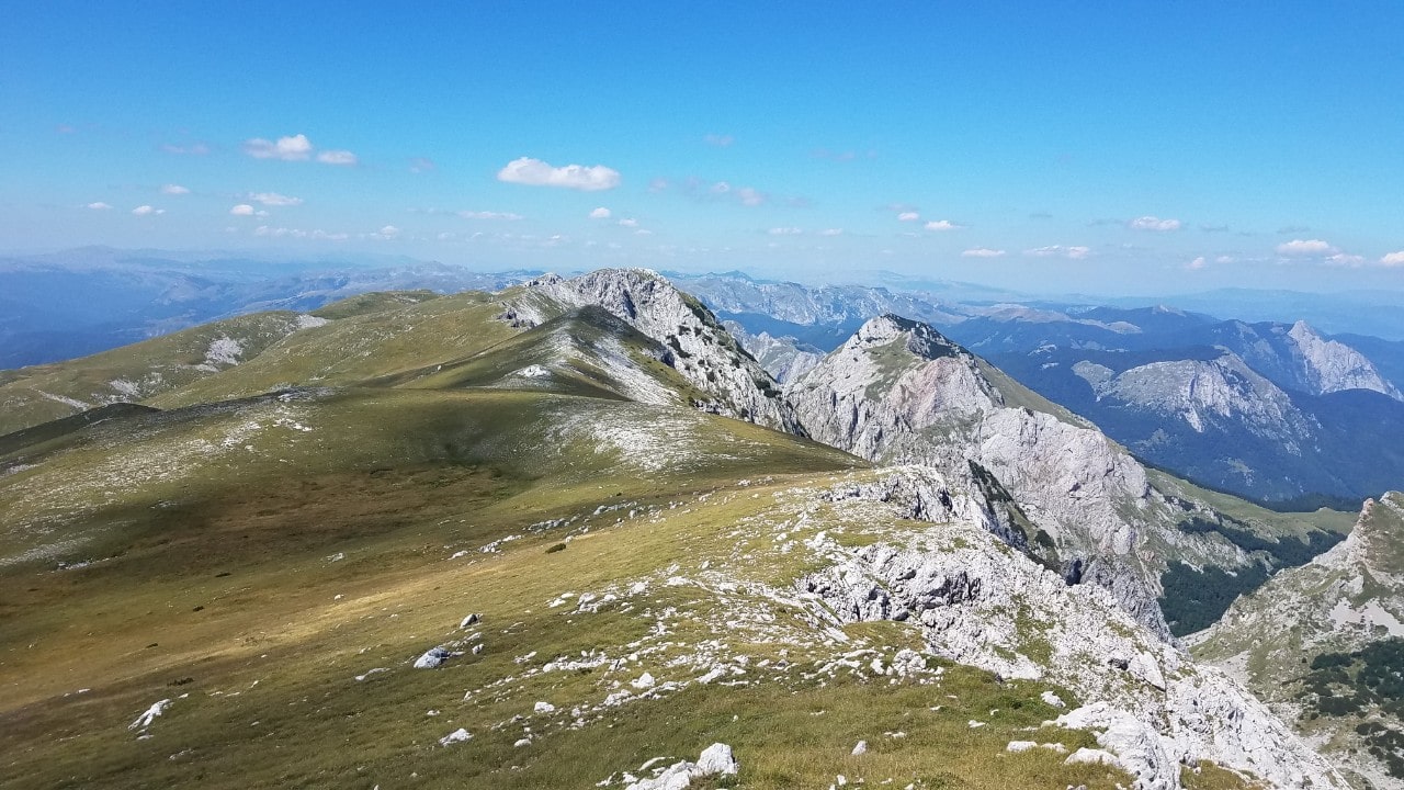
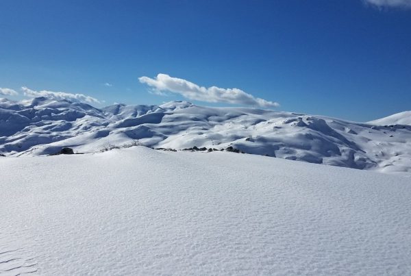
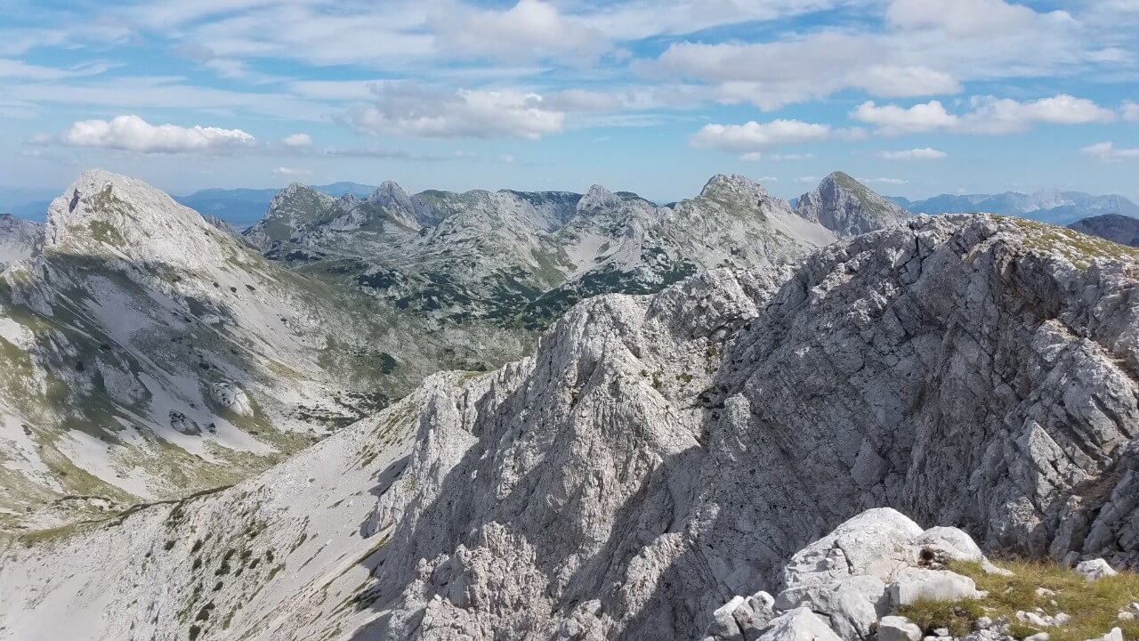
North ridge of Volujak with several peaks in a row
For those unfamiliar with this region, it is strongly advised to employ the services of an experienced guide, or to have considerable prior mountaineering experience, as well as access to a reliable map and an in-depth understanding of the landscape.
Traveling west from the lake, the road leads to Rudin’s huts, cattle ranches and then turns right after 500 meters towards the Klekov kom. Along the way, the alpine pastures give way to a juniper forest and stunted pine vegetation, which, although it enhances the landscape, can prove to be an unwelcoming barrier if one strays from the path. On the horizon, the lake is framed by the peaks of Trzivka, Trnovački Durmitor, and Maglić.
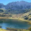
Trnovačko Lake from North ridge of Volujak, in the right is Trnovački Durmitor, far right is Trzivka peak in Montenegro
The road meanders along the Oštrikovac ridge, skirting the right side of a cirque and the left side of a forest and rocky terrain that stretches towards Suha jezerina. As you progress, the chances of wandering off into a juniper grove become increasingly slim. With each step, the view of Maglić and the peaks of Bioč become more captivating, and if you ascend far enough, you will also be able to admire the peaks of Durmitor in the east.
North ridge of Volujak
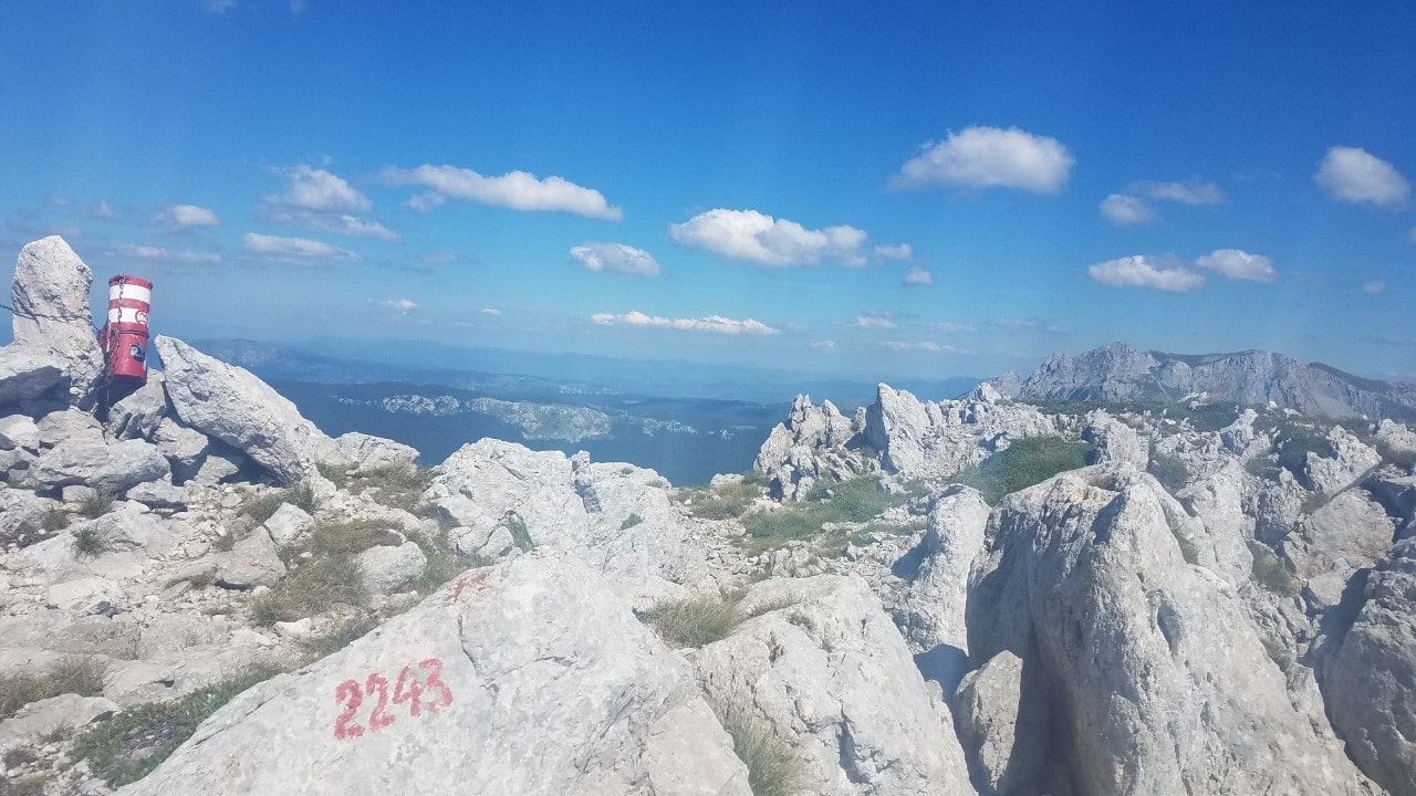
You are almost at the summit. To your left is a pass, and straight ahead is the peak of Studenac, towering at 2296 meters.
View from Studenac peak or Veliki Oštrikovac
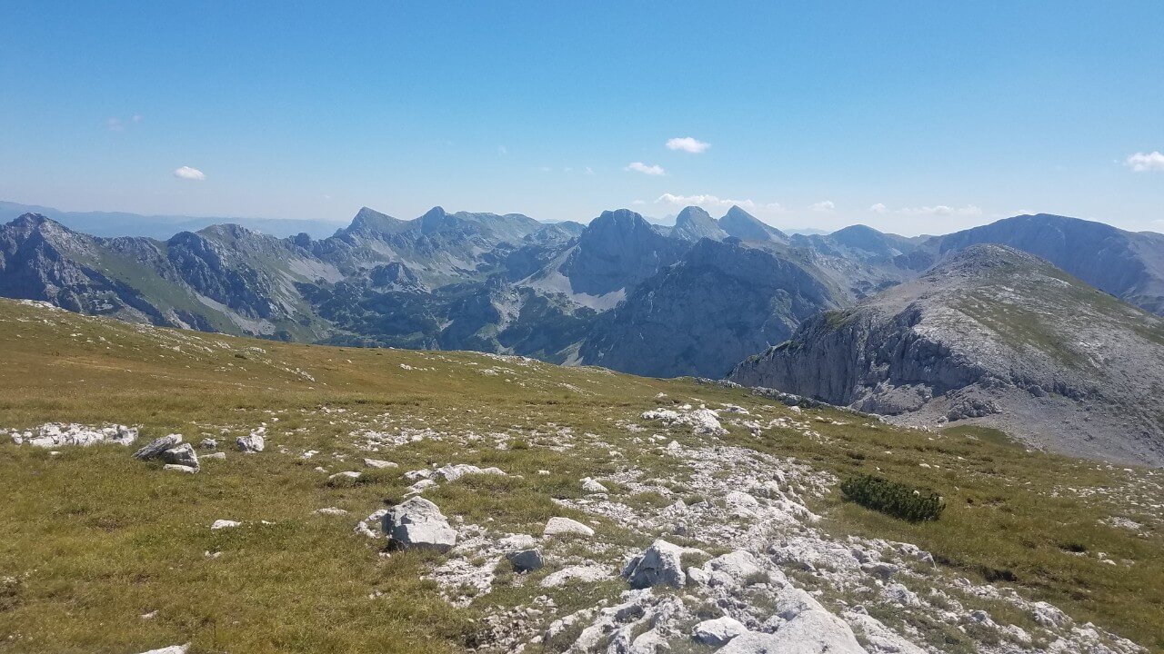
To the south, the Kuk pyramid, the Lebršnik barrier, the Čemerno pass, and the breathtaking Zelengora in the northwest are visible. In the east, you can spot the Maglić, and the peaks of Bioč, Vlasulja with the northern rock and the Durmitor in the distant horizon, are creating a truly stunning panorama.
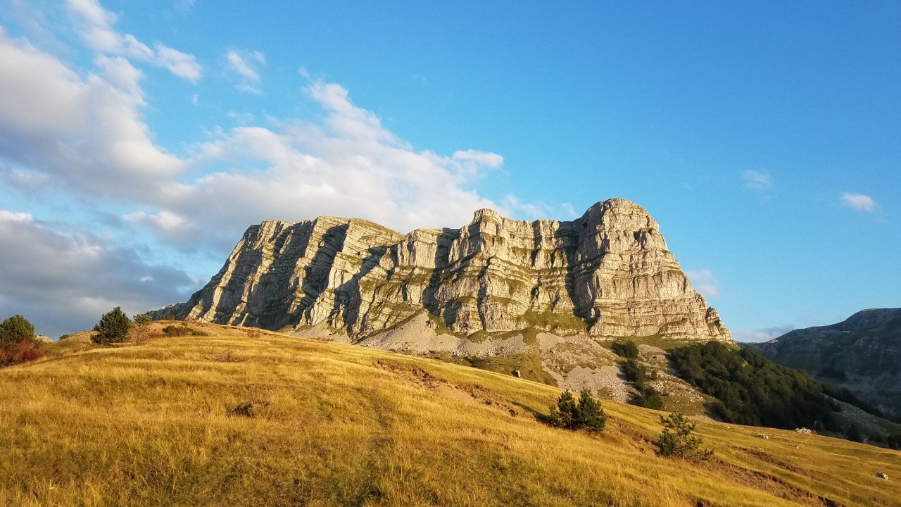
Studenac Peak or Veliki Oštrikovac, second highest peak of Volujak mountain
From the summit of Volujak, you can embark on a stunning journey to the peaks of Badnjine or Vlasulja. At 2,243 and 2,336 meters, respectively, these mountain peaks offer a magnificent panoramic view of the Trnovačko lake below and the surrounding peaks in the distance. The breathtaking views are sure to last for a long time as you traverse the high altitude path.
Badnjine Peak, Volujak mountain
Return to the lake in 1 hour, retracing your steps, or going the new route to Čemerno in 3 hours.
Those seeking a thrilling experience can take on the challenge of descending into the valley along an old, marked hiking trail. Not only does this trail offer a challenging topographical and navigational experience, but also the reward of breathtaking panoramic views, wild mountain scenery, and precarious paths between cliffs. An intense and unforgettable experience awaits those brave enough to take on this journey. From Studenac peak, which is marked as Veliki Oštrikovac on some of the maps, the road follows the northwest ridge until reaching Badnjine at 2,243 meters. From here, a passage to the north and then eastward leads to Tiholjica at 1680 meters, near to the former mountain lodge. Carefully following the livestock path, the trail passes under Stolac peak at 1985 meters, Jelovoj stazi, and Vratnice, before descending to the Suha valley in three hours. This return path demands great mountain experience, a map, a compass, good weather, or a guide, as it passes through large rocks.
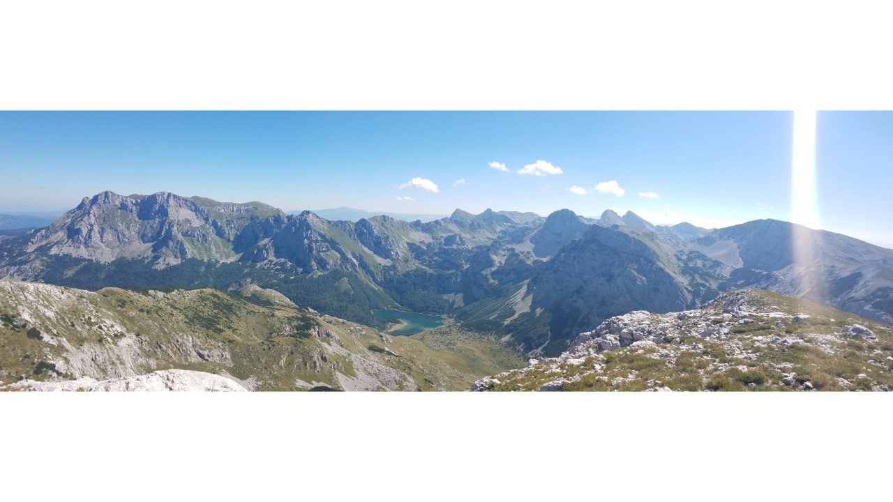
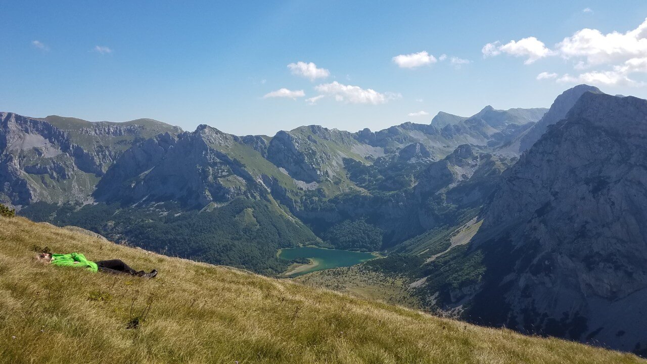
Maglić on the left, Trnovačko lake in the middle, Trnovački Durmitor on the right, Trzivka and Velika Vlasulja behind, and far in the distance Bioč
The route to Studenac from Čemerno pass
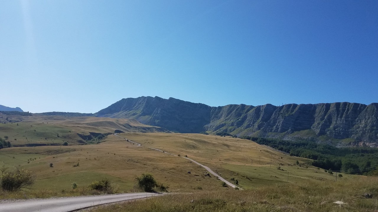
Čemerno is a mountain pass of 1293 meters altitude, situated on the Sarajevo – Dubrovnik main road between the cities of Foča and Gacko. A macadam road under the Lebršnik mountain, with its peak of 1985 meters, leads to the Kuk summit of 1860 meters.
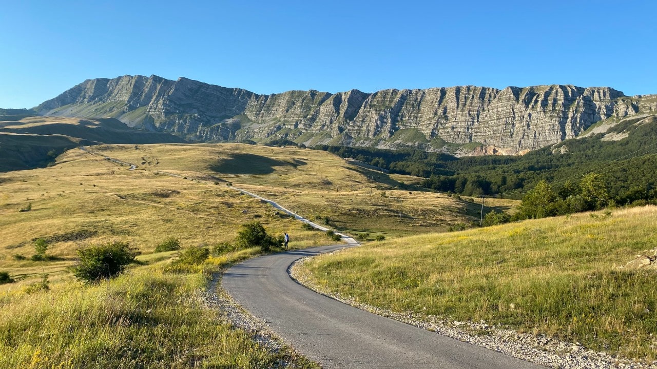
Čemerno pass with Lebršnik above it, captured in early summer
With an all-terrain vehicle, this road provides easy access to Volujak and shortens the time of the ascent to the top. During any season, the spring of the Sutjeska river presents its visitors with breathtaking views. However, in early spring, a ski tour brings a unique beauty to the landscape, making it an incredible experience.
No difficult obstacles stand in the way of an ascent of Volujak’s peak Studenac, but the multiple intertwining of the livestock roads require careful direction. On a clear day, the summit of Studenac (Veliki Oštrikovac) is visible from Čemerno. This route is particularly suitable for a winter ascent with touring skis, as the terrain is configured for a gentle climb and a swift descent down to Trnovačko lake and across Suha jezerina to Suha valley.
Before attempting to ascend in wintertime, it is essential to take into account the potential for avalanche risk in the area. The latter half of the route is located on a steep slope, so those who are unfamiliar with the terrain should consider hiring a guide or having extensive high-mountain experience, as well as using a map and having a thorough understanding of the topography. We are perched at a considerable altitude on the pass, and the road ahead of us winds eastward through small hamlets, across lush meadows, through dense deciduous forest, past gushing springs, and beneath the imposing northern face of Lebršnik, all the way to the pyramid of Kuk peak.
Kuk and Vracan plain, in summer season
June and July are the most beautiful months to traverse this road, as it’s surrounded by an abundance of colorful mountain flowers, plentiful springs, and long, warm days. The ascent is gradual, so within the first hour of our journey we will have already traveled halfway, though we will only have climbed two hundred meters to Vracan poljana, which is situated below Kuk. We can also choose to begin our ascent to Studenac peak from Papin do, the same route we described to reach Velika Vlasulja peak.
Čemerno pass with Lebršnik above
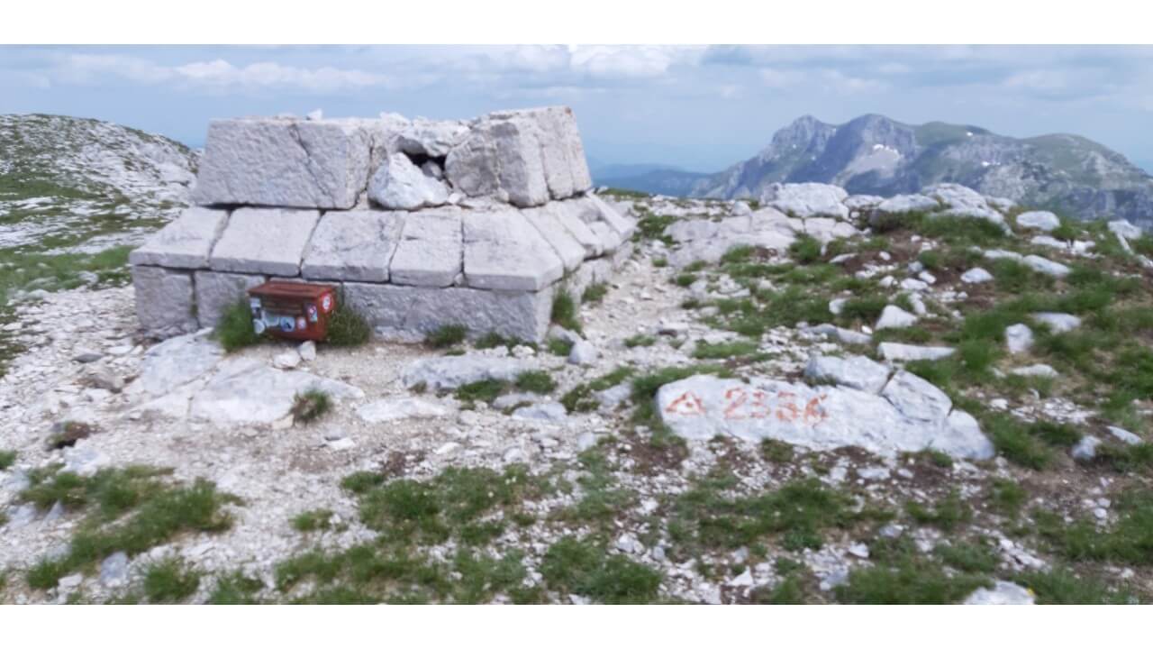
As you traverse the Vlasulja slope, you will come across numerous springs which provide an ample supply of water. The road continues to ascend sharply, heading northwards and is one of the most important routes used by livestock on Volujak. To the left of us, the Sutjeska River forms a valley that is visible from afar. The arduous ascent will be eased by the increasing beauty of the views. After two hours of travel through Klekov do, you will arrive at the Marculov do plateau, which stands at an impressive 2,100 meters. The road continues passing by a spring that lends its name to the peak Studenac, and then leads up to the Studenac summit, at a height of 2,296 meters. At the peak, you will find a ruined stone pyramid, marking the border.
Head back to Čemerno in three hours or to Trnovačko jezero in one hour.
The route to Studenac from the village of Izgori
The village of Izgori is the closest starting point for the ascent to the top of Volujak, peak Studenac, or Veliki Oštrikovac. Home to highlanders who live there year-round, Izgori offers services such as food, vehicle parking, and the option to hire a local guide or driver who can transport your car to Suha or Čemerno if you decide to take a different route on your way down. This route is particularly beneficial if you need a swift and easy descent.
Located 10 kilometres from Tjentište, Grab is a place situated on the left bank of the Sutjeska where the main road between Sarajevo and Dubrovnik commences its climb towards Čemerno. From Grab, a macadam road runs along the right bank of the Sutjeska to the village of Izgor, situated 850 metres below the western slopes of Volujak. Travelling by all-terrain vehicle further up this forest road, visitors can reach the edge of the peak of Studenac. From here, it is possible to ascend to the summit of Studenac in approximately two hours.
It is possible to return to the valley by retracing the path taken to ascend: from the top of Studenac, across the ridge to Badnjine (2,243 meters), Kuzman huts (1,450 meters), the village of Slavigora (974 meters), the bridge on Vratar (746 meters) and to the Sutjeska canyon or back to the village of Izgor – a journey of 3-4 hours.